kiemchacsu
Well-known
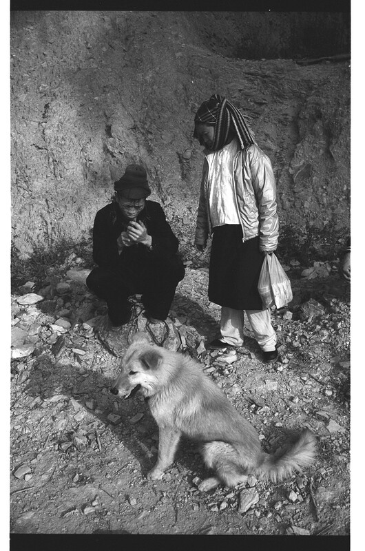
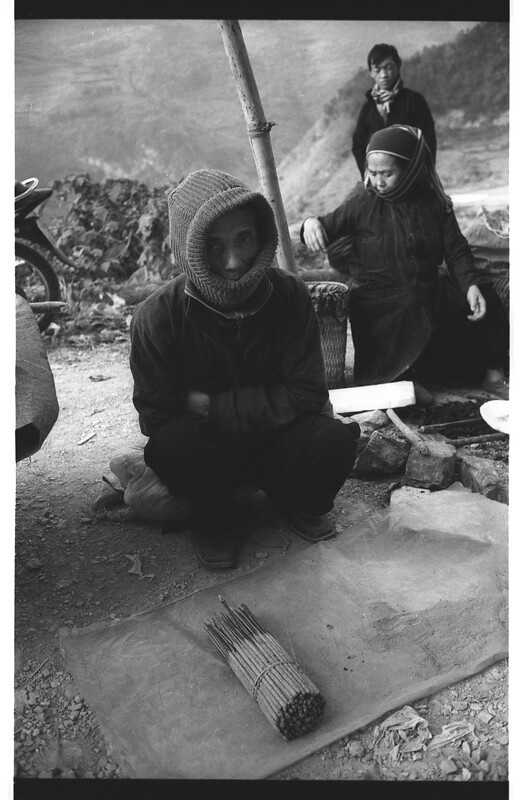
Recently, I had a chance to visit Ha Giang again. That was my third time to be there but I always feel exited, the reason? May the pictures could explain some things. 🙂
Some notes from Wikipedia for brief instruction
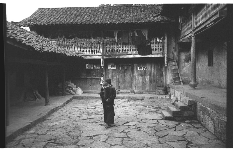
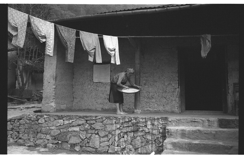
1
 Ha Giang 11/2011 by kiemchacsu, on Flickr
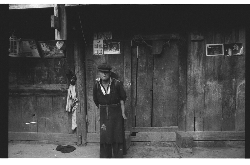
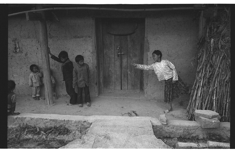
2
1111_58_M3_BW400CN by kiemchacsu, on Flickr
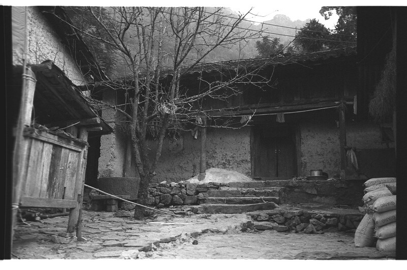
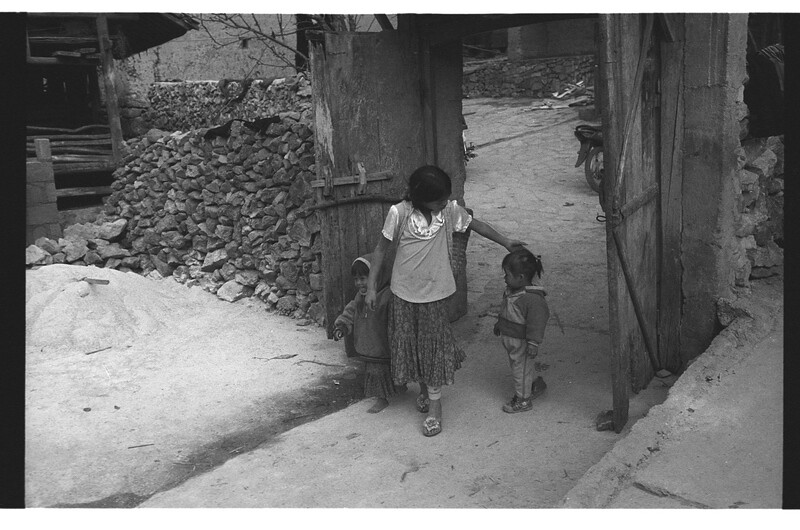
3
1111_59_M3_BW400CN by kiemchacsu, on Flickr
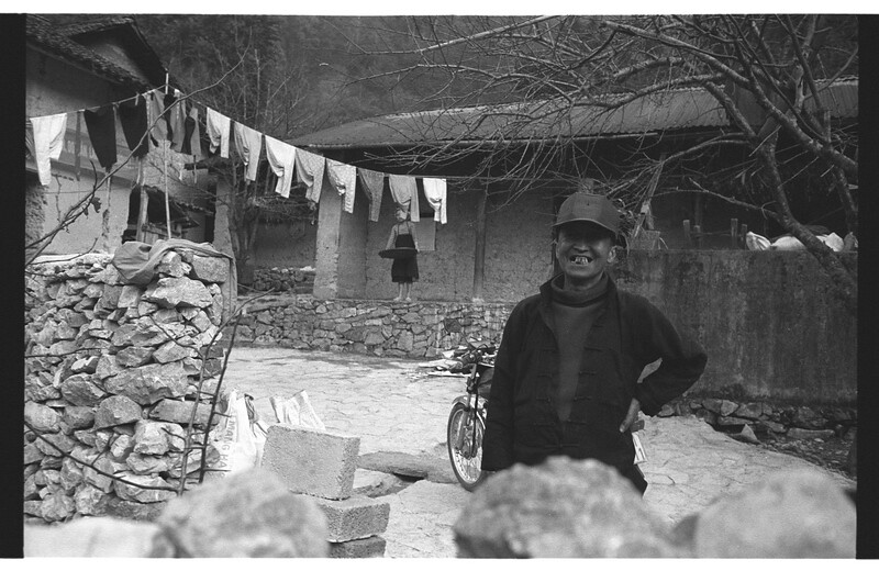
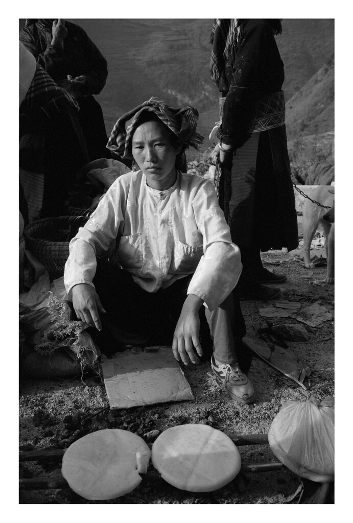
4

1111_67_M3_BW400CN by kiemchacsu, on Flickr
6

1111_45_M3_BW400CN by kiemchacsu, on Flickr
P.S: sorry for the confusion in the file name, it was a mistake while naming the scanned file. The film was FOMAPAN 100. Leica M6 | 35/2 V4
Some notes from Wikipedia for brief instruction
And here we go, some pictures from that tripHà Giang ( listen) is a province in northeastern Vietnam. It is located in the far north of the country, and contains Vietnam’s northernmost point. It shares a 270 km long border with Yunnan province of southern China. Hence it is known as the final frontier of Vietnam. The province covers an area of 7945.8 square kilometres and as of 2008 it had a population of 705,100 people.[1]
The provincial capital is also called Ha Giang, which is connected by Highway 2 and is 320 km away from Hanoi. The border crossing is at Than Thui, 25 km from the Ha Giang town. It is one of the poorest provinces of Vietnam as it has highly rugged but scenic mountainous topography with least potential for agriculture development.[2][3][4][5][6]
The province borders China with a length of over 270 kilometres (170 mi); the border gate is known as the Thanh Thuy. In addition there are three smaller gates namely, the Pho Bang, the Xin Man and the Sam Pun.[7]
1
Ha Giang 11/2011 by kiemchacsu, on Flickr2
1111_58_M3_BW400CN by kiemchacsu, on Flickr
3
1111_59_M3_BW400CN by kiemchacsu, on Flickr
4
1111_67_M3_BW400CN by kiemchacsu, on Flickr
6
1111_45_M3_BW400CN by kiemchacsu, on Flickr
P.S: sorry for the confusion in the file name, it was a mistake while naming the scanned file. The film was FOMAPAN 100. Leica M6 | 35/2 V4